Pictures  and  Postcards,  Old  and  New
New  Square

West Bars ends with the Portland Hotel & Dents - & so does the road nowadays; but it was once an intersection: Park Road began at the Portland & traveled down by its side, down, crossing over New Beetwell Street, & Markham Road.
Low Pavement began where West Bars ended, at the Portland Hotel & Dents; & went through, across the bottom, to Vicar Lane.
There was also a road that began at the end of West Bars again but cut through the market to the High Street.

These are modern views showing where Park Road began at the side of the Portland.
It's now a pedestrianised area.
An early map, 1878, before the Portland Hotel, Train Station, Park Road & Tontine Road was built.
The Post Office is in the Market Hall, & the 'White Horse Inn' & 'Bird in Hand' were still in business - later to be demolished.


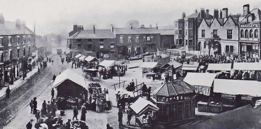
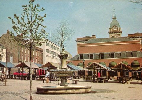
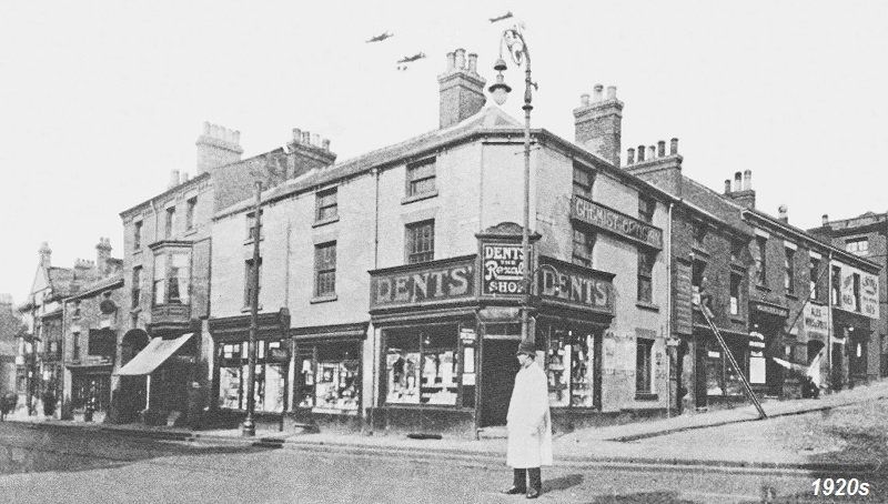
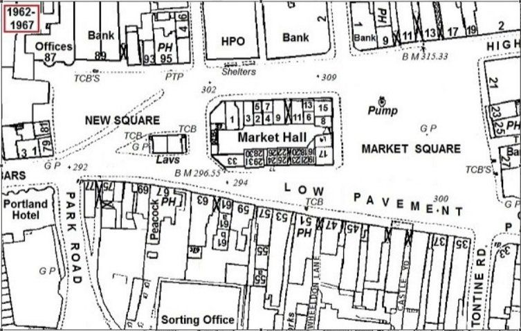
This 1960's map shows the changes to the square, after the Portland & train station was built.


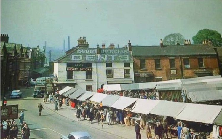
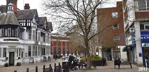
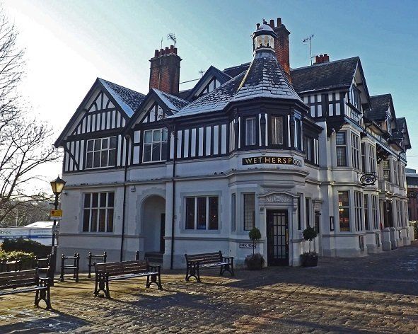
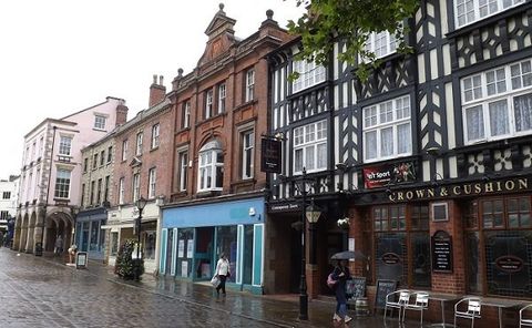
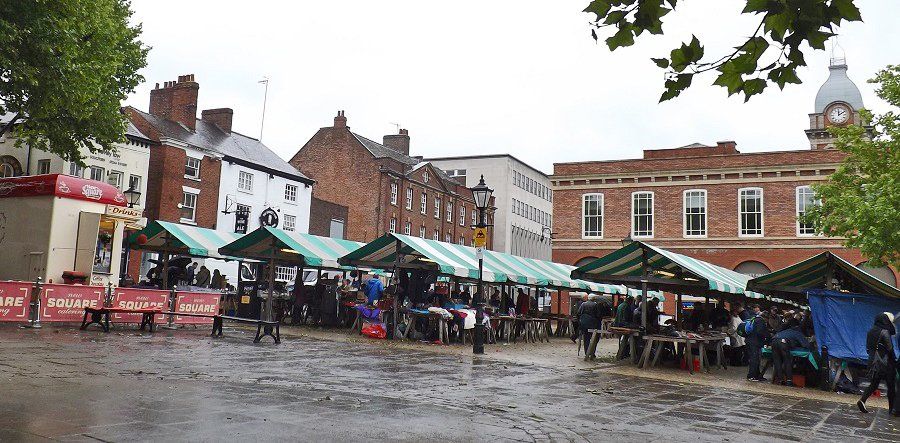
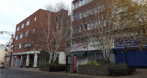
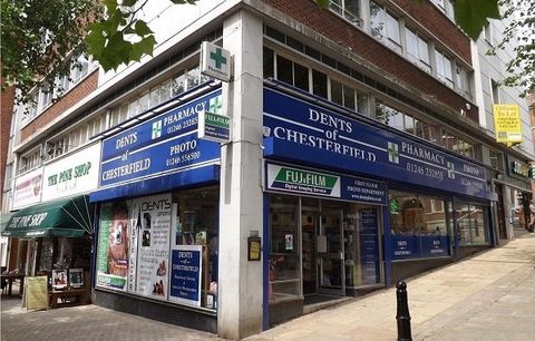
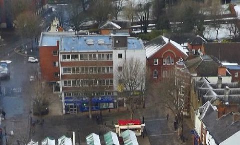
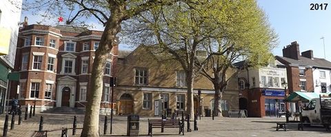
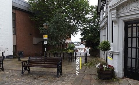
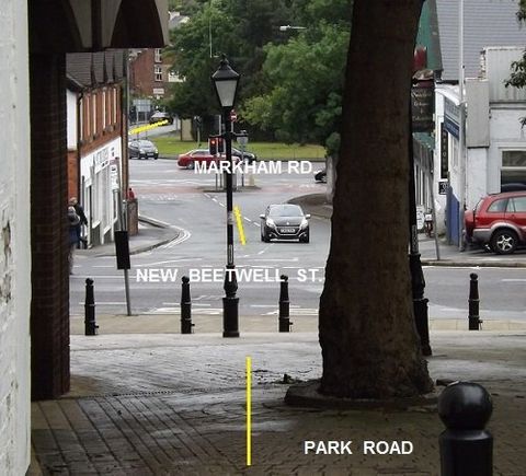
Today, 2019, The road finishes at the Portland & Dents, Park Road is a pedestrian walkway. Tontine road was built, then built over: The entrance is now a part of the library. The New Square & High Street is pedestrianised with a limited use for vehicles.


This 'Seaman and Sons' photo was taken of New Square before the Portland Hotel & the Train Station was built.


The Star and Garter is next to Dents & facing the Square, with light coloured curtains.


The buildings along the top of the Square are the same today.


A more modern photo. The Portland & the Station are on the left: Dents hadn't been re-built as yet.


Below, the re-building of Dents; & the A.G.D. building in the background, behind the Portland & the station.

The photo, above left, was taken c1914 & the photo, above right, 2017. 


The earlier photo shows Dents, oppopsite the Portland Hotel, further back from the Portland is the train Station & further back, in the middle of the photo, are warehouses.


In the 2017 photo,  Dents has been re-built; & there are no other buildings further up next to the Portland.


This photo on the right, was  taken c1910, of the inside of the Portland.  


The Portland Hotel was built by William Stones of Sheffield in 1899, on the site of the White Horse & Bird in Hand public houses. It was named after the Duke of Portland who owned part of the land it was built on.


The photo was taken 2017.


1970's Low Pavement, across from the Portland Hotel.


David Lowe stood where 'Proctors' had been on the corner; then a gap in the frontage, followed by Simon's Carpets, Woodseats Sewing Machines,  Baskills & the Peacock Inn.


Above Simon's Carpets & Woodseats was the Royal London Mutual Assurance Society Ltd.


2017  Low Pavement.


Martin & Co. are now on the corner; the 'gap' in the frontage now has the Full Monty business, followed by On the Move, Fish 'N' Chips & the Peacocks Coffee Lounge.


The Peacock changed from an Inn to a Coffee Lounge after a fire part destroyed it.

                                            1970's      further along Low Pavement    and      2017

The photo to the right was taken c1910.


The road came from the end of West Bars, through the Square to the High Street.


The Market Hotel is behind the post, with a shop on the corner. The 'fancy' building on the left was once the first co-op building in Chesterfield.


Across the road (Soresby Street), from the shop is the Post Office. The Post Office was once in the Market Hall, & moved to that position on the High Street, & has since moved again: The building is now a cafe.


Next to the Post office is the Angel Hotel.


Below left was taken in the 1970's; with a new road & buildings. Later, the Square became a pedestrainised zone & a fountain, from Hasland Park, was placed in the middle - photo on the right.


2017. The Square is still a pedestrianised zone; but the fountain was given back to Hasland park.


Substantial changes have been made to the Market Hall, inside & out.


Dents corner.  The old building is on the right, 1920's. The Sun Inn is seen far left [triangular top].


The new Dents building is below & was erected 1964: The corner has totally changed.


The images below were taken c2017. They show Dents corner & the new buildings along West Bars to the Sun Inn.

A 'then' and 'now' from above.

The buildings at the top of the Square haven't changed. As can be seen on the Seaman and Sons photo at the beginning of the thread.


The house on the left, in the corner, is of significance because of who had lived there. See Plaque.

Above, the building is now used by Grace Chapel; it had previously been the Yorkshire Bank  [now moved to Vicar  Lane];  & before that Sheffield Bank had used it.

The Sheffield Banking Co. had opened a branch in the Market Hall, Chesterfield in 1861, then moved to the 'Manor House' 1865.

I don't have the building's full history of who used it, & for what business. It had been the abode of Mr Thomas Jones, a surgeon 1856.
Moving along the top, next to Grace Chapel we have the first Chesterfield Co-op building. As the Co-op grew they went to larger premises.

A few changes have been made to the outside.

We come to the last 3 buildings of the top of New Square.


Between the old Coop building & the Market Pub is a small outlet for a business which doesn't seem to have such a 'famed' history to it ? Except it is there & has been used for various businesses over time?


Then we have the Market Pub, which once was a Gilmour pub, then a Tetley pub. 


On the corner, of New Square & Soresby Street, is a shop which has been a chemist,  dry cleaners, & food outlet - to name a few uses.


The shop has changed the most with the moving of the door from the corner to the front.

The earlier photo is c/o Jim Green, with thanks.

The photos also show the changes made to the [one time] post office building.
End
Share by: